
SWISSGEO – The Swiss Geospatial Platform
SWISSGEO is the future platform for geospatial information in Switzerland. The platform will join existing services and components of the National Geospatial Data Infrastructure to further simplify the use of geodata in Switzerland.

What is the aim of SWISSGEO?
Switzerland has a lot of valuable geodata on topics such as the environment, energy, infrastructure, security and spatial planning. This information comes from municipalities, cantons, and the federal government. Until now, it has been spread across various platforms and has not always been easy to find.
SWISSGEO makes spatial data in one place accessible. This will make it even easier to find, use and share geoinformation in future.
What does SWISSGEO offer?
With SWISSGEO, you will soon be able to:
- Search, display and download geodata
- View, interpret, analyze and share maps
- Use geodata and geodata services and easily integrate them into systems, apps and websites
- As a geodata owner, publish and distribute your official geodata and geometadata
The platform also promotes collaboration between data providers, experts and users from different fields.
A first step: five platforms become one!
In a first step, SWISSGEO gradually merges the following existing portals and websites:
- geo.admin.ch – the federal geoportal
- geodienste.ch – the intercantonal portal for geodata and geodata services
- geocat.ch – the catalog of geographical data for Switzerland
- geoinformation.ch – information page on the Swiss Geoinformation Strategy
- geostandards.ch – organization in the field of geostandards and INTERLIS
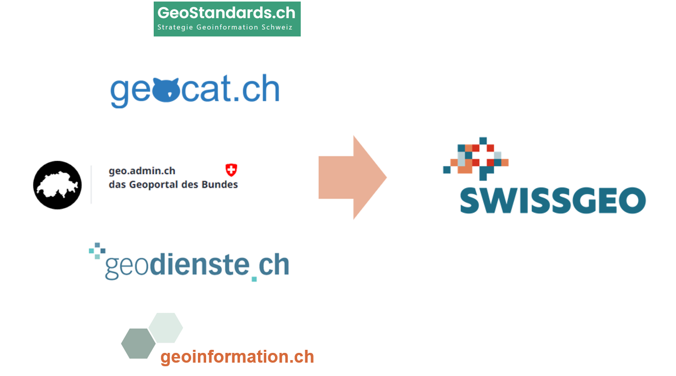
The combination will result in a larger, better coordinated offer of information that combines the strengths of all platforms. This will make the exchange of geoinformation between providers and users even easier and more direct in Switzerland.
Part of Switzerland's digital future!
SWISSGEO is an initiative of the Swiss Geoinformation Strategy approved by the Federal Council and the Swiss Conference of Directors of Public Works, Planning and Environmental Protection. The platform is a central component of a modern National Geospatial Data Infrastructure that enables sustainable decisions for a attractive, open and inovative Switzerland.
Join the testing!
An initial prototype is available at test.swissgeo.ch. Feel free to try it out and help us improve it further. We value your opinion – please share your feedback directly through the online form.
What are the next steps?
The platform will be developed in several stages. A long-term implementation plan will ensure the smooth transition for everyone involved. More information will follow.